|
Location:
Near Larmour-Baden, Morbihan |
Grid Reference:
47.568 N, 2.897 W |
 Er Lannic:
(Twin Stone Circles).
On
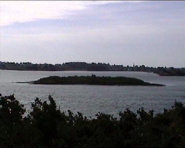
the islet of Er Lannic, 500m (0.3 miles) south of
Gavr'inis, there are two stone
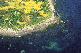
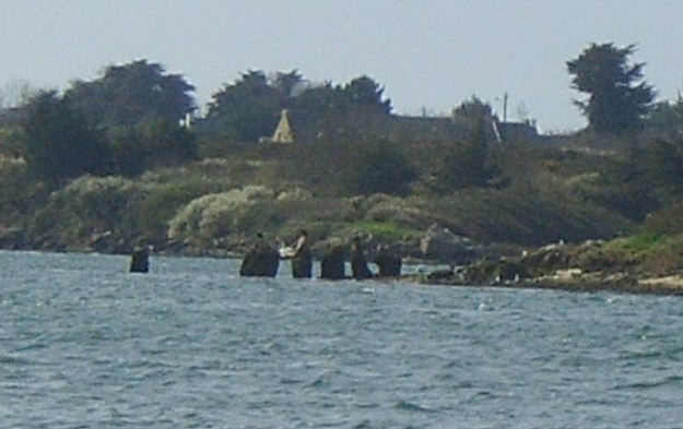
circles, both made of some 60 stones. They are now half submerged by the
waters of the Gulf of Morbihan, but in prehistoric times they stood on the
mainland. Only the northern circle can be seen, the southern one being
entirely submerged.
Er-Lannic is now a Bird Reserve and cannot be visited, so the northern stone
circle is visible only from the air or by boat (the boat to
Gavrinis passes
nearby the still exposed circle, which is half
submerged, is 65m (213ft) in diameter and its stones are 2 to 5.4m (6.5 to
17.7ft) high.
The site was excavated in the 1920s by
Zacharie Le Rouzic, who calculated that Er-Lannic had been erected about
5,000 years ago. He found around each stone a cist containing charcoal,
animal bones, worked flints, pottery, and a lot of polished axes. Two
stones are carved with axes and a yoke, and one of the uprights' packing
stones has nine cup-marks (according to Le Rouzic, arranged to form the
outline of the constellation Ursa Major). The southern submerged stone
circle is horseshoe-shaped open to the east, 61m (200ft) in diameter.

Er-Lannic is directly in front of
Gavr'inis.

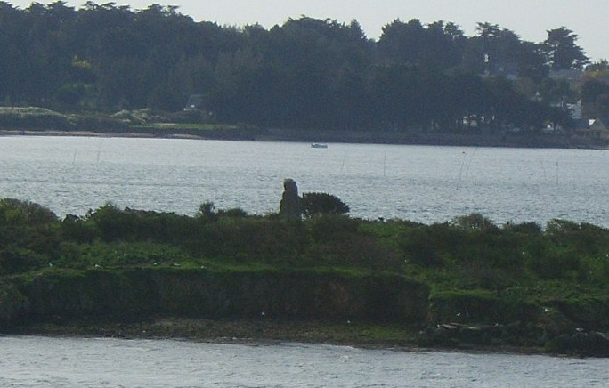
The large menhir is still standing on the island.

Although the
circles are now mostly submerged.
Alignments
-
Two outlying stones, now
fallen and below the water, lie east and west 50m (164ft) and 90m
(295ft) from the circle, on a line tangent to the visible ring's
northern corner, marked by the highest stone of the circle (5.4m -
17.7ft). At the southern tip of the submerged horseshoe there was a
great pillar called
the blacksmith's stone by fishermen. These lines to cardinal points
had probably some astronomical connections, possibly to the moonsets.
(Stone Circles
Homepage)
(Other French sites)
|